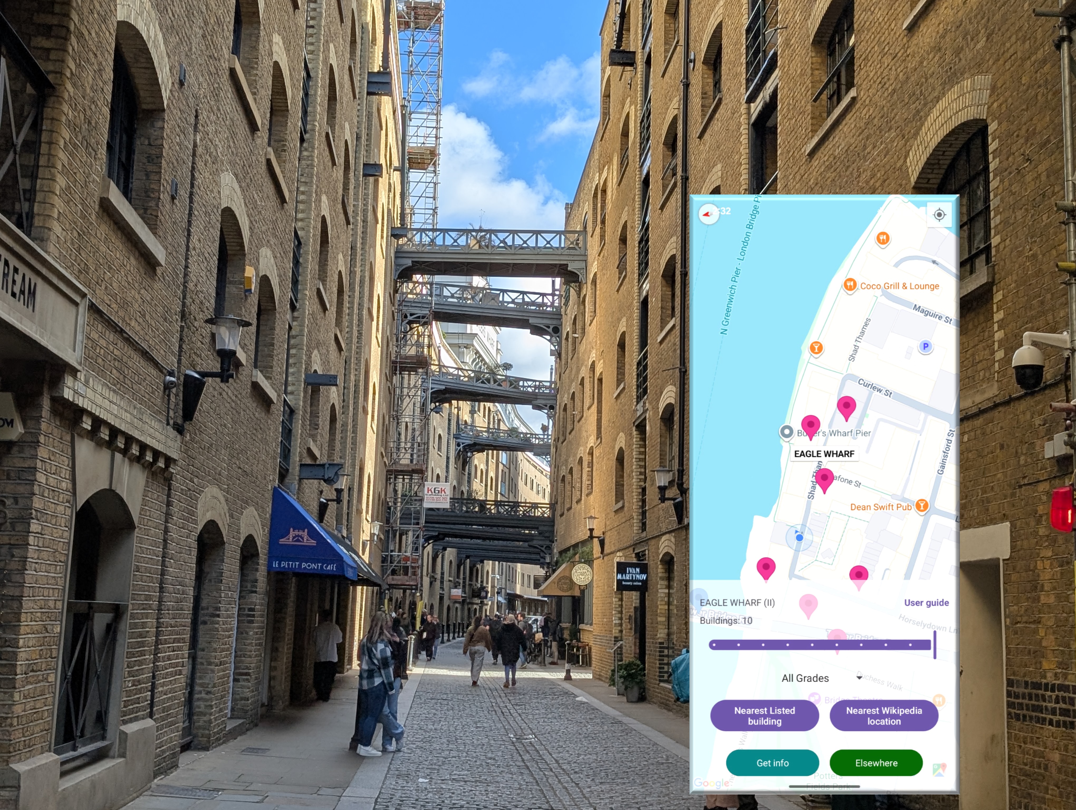
 Shad Thames towards the Grade II listed Butler’s and Eagle wharves (with app screenshot), London October 2026
“Maps cover space, but time is another dimension”, Anon
Last year I built an Android app that showed its users the locations of their nearest historic buildings in England. Historic in the sense that the building has been officially designated as being of importance. My motivation for the project is partly personal interest, but also, having worked in the heritage sector, to explore new ways to show the publicly available information about the history of local buildings.
The first version of the app covered England, I have since extended it to give coverage in Scotland, Wales, Northern Ireland, The Republic of Ireland and France. I also created an Apple version. Although there are apps covering historic buildings out there to my knowledge this is the largest coverage of this kind of app that includes the UK across both Apple and Android. All the data used is based on publicly available information on designated historic buildings in the respective nations.
Having written about what I found about some of the historic buildings in my local area of London using the app I thought I would zoom out and talk about how the app works at a bigger scale. In many ways discovering local historic sites does though better represent what I am trying achieve. Some of the examples below, chosen as I have photos of them, are among the most famous historic buildings in Europe - one does not need an app to find them!
1. Using the app
The app appears on the phone as a castle icon:
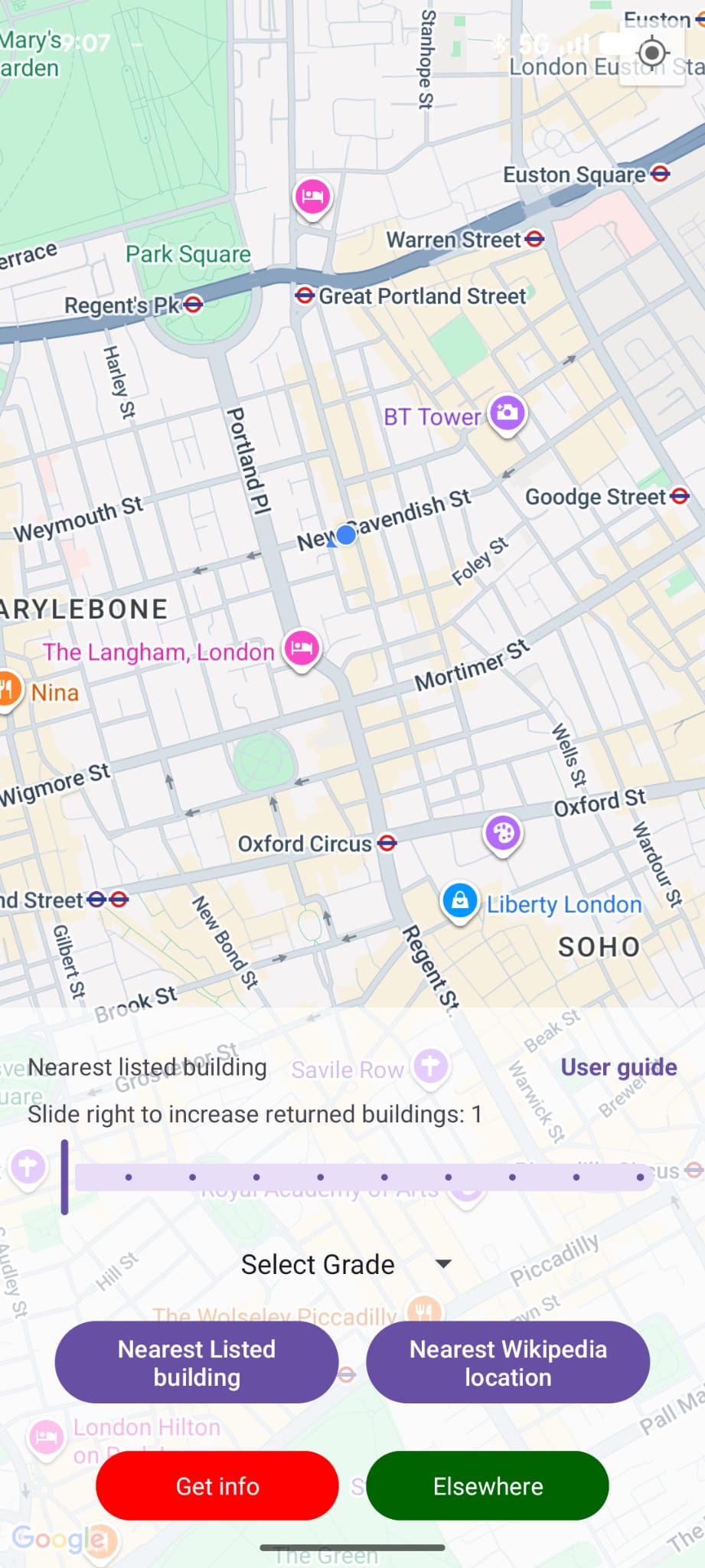
Finding location information on nearby historic buildings
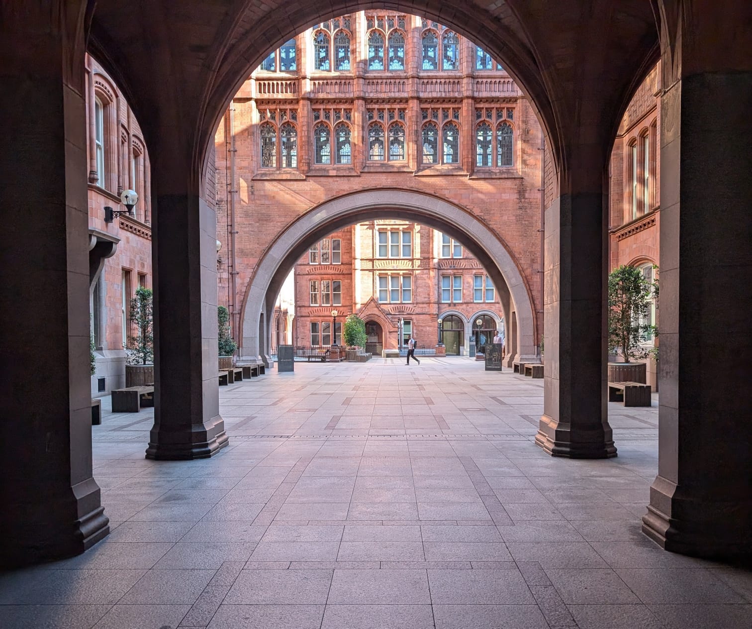 The Grade II* listed Prudential Assurance Building, Waterhouse Square, London\
The app has two buttons to retrieve location information at the bottom of the screen:
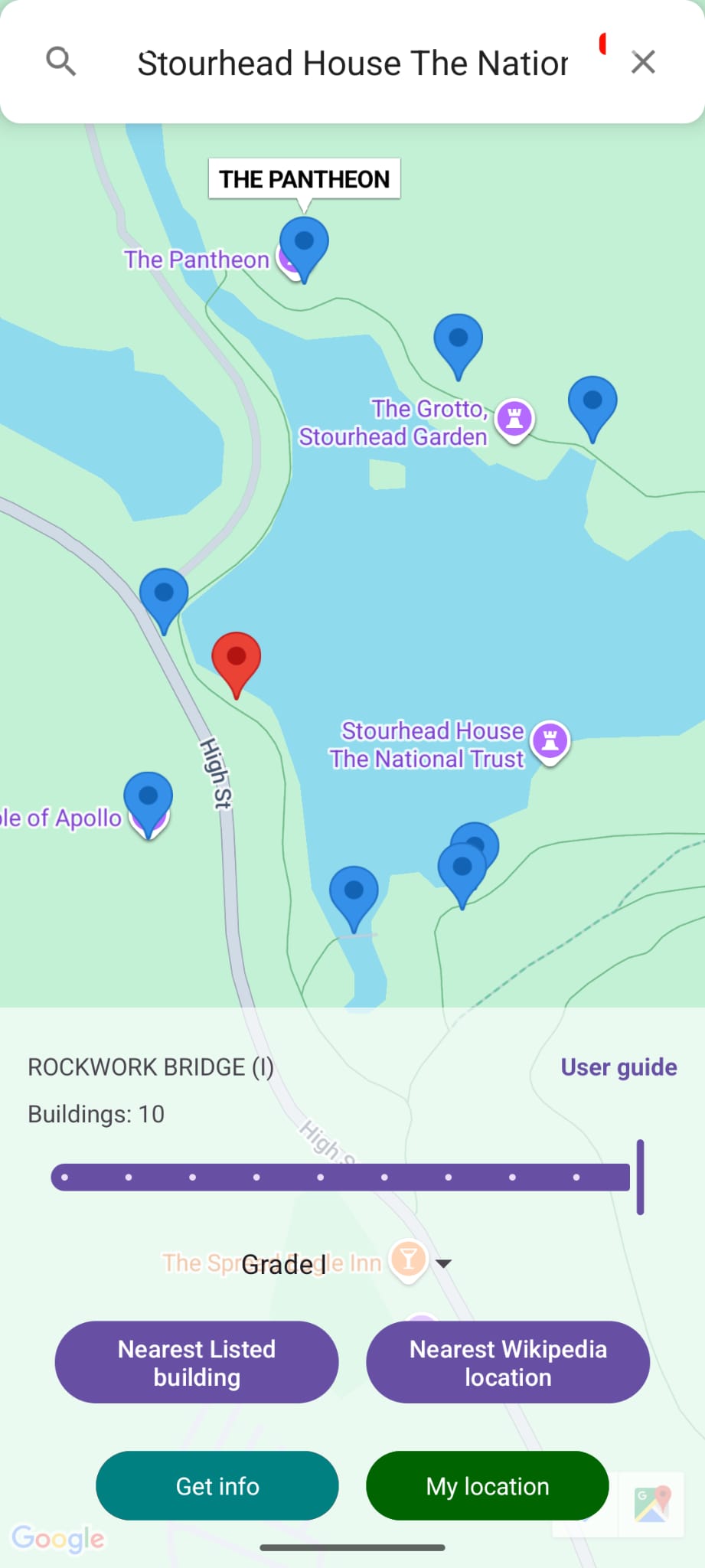
Nearest listed building (Shown on the left-hand image below) This shows the location of the nearest historic buildings on the map with a marker. Historic buildings are typically given a grade that reflects their importance. Markers are colour-coded according to their grading. The grade type searched for can be selected from the drop down and adjusts according to the national location the map is centred on. There is a slider that allows the number of nearest buildings identified to be selected.
Nearest Wikipedia location (Shown on the right-hand image below) This shows the location of the nearest geo-located Wikipedia references on the map. Some historic buildings have Wikipedia entries, but most do not. The Wikipedia functionality is available everywhere in the world.
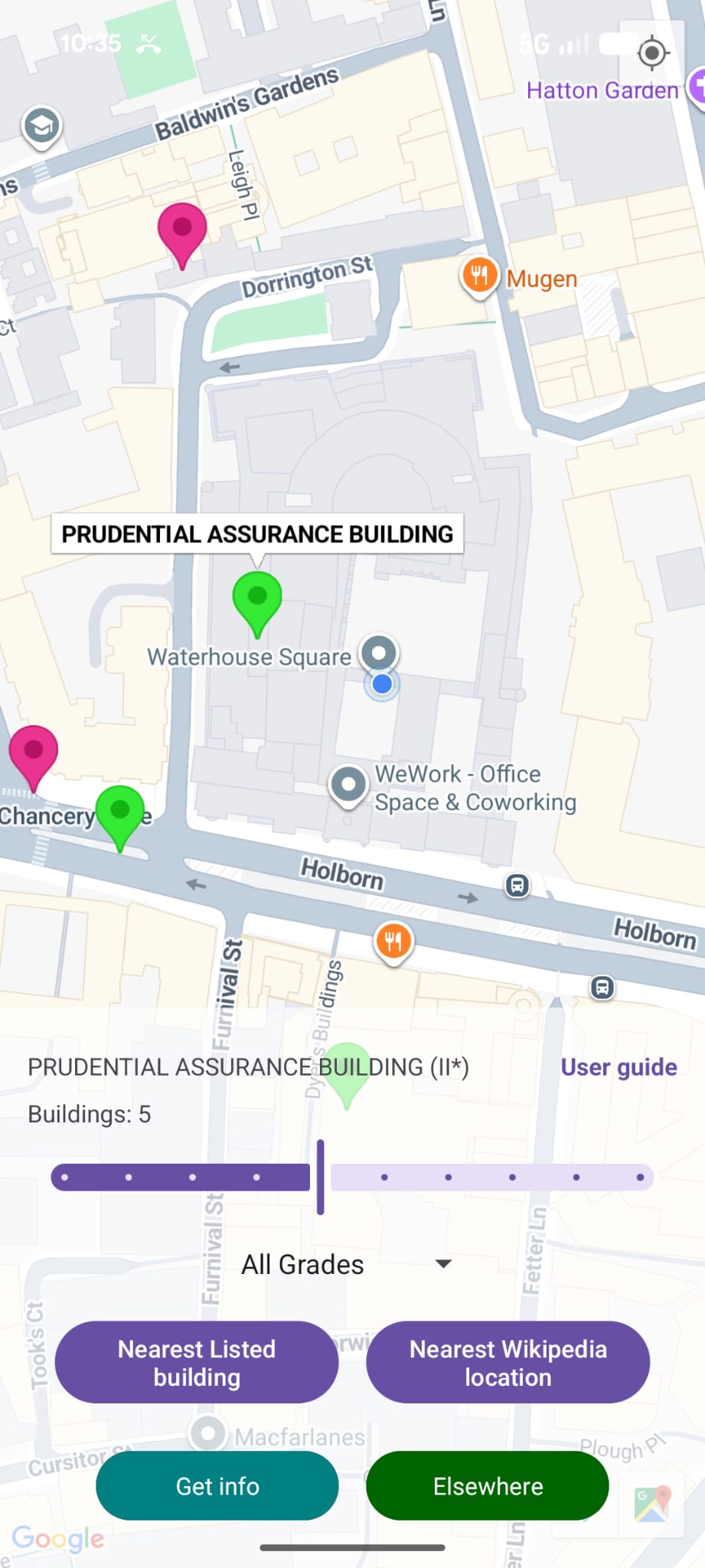
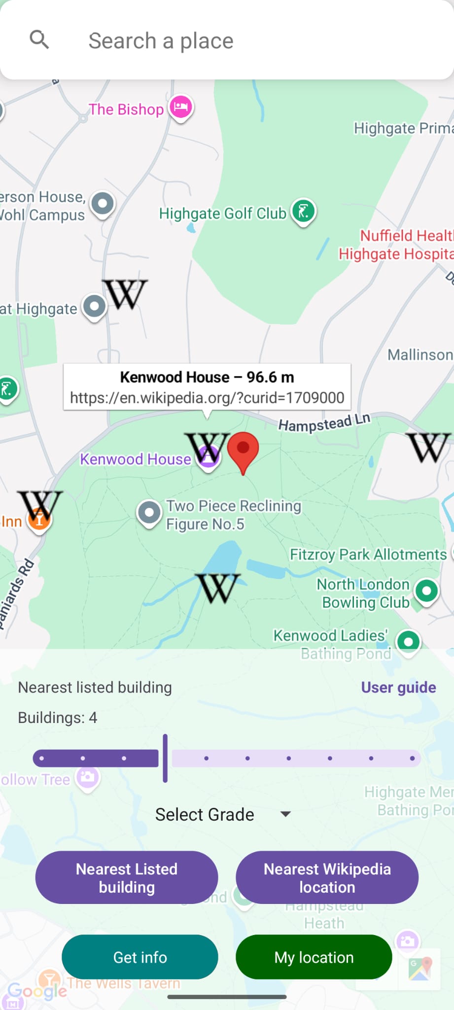
Using the app locally or to look at other places
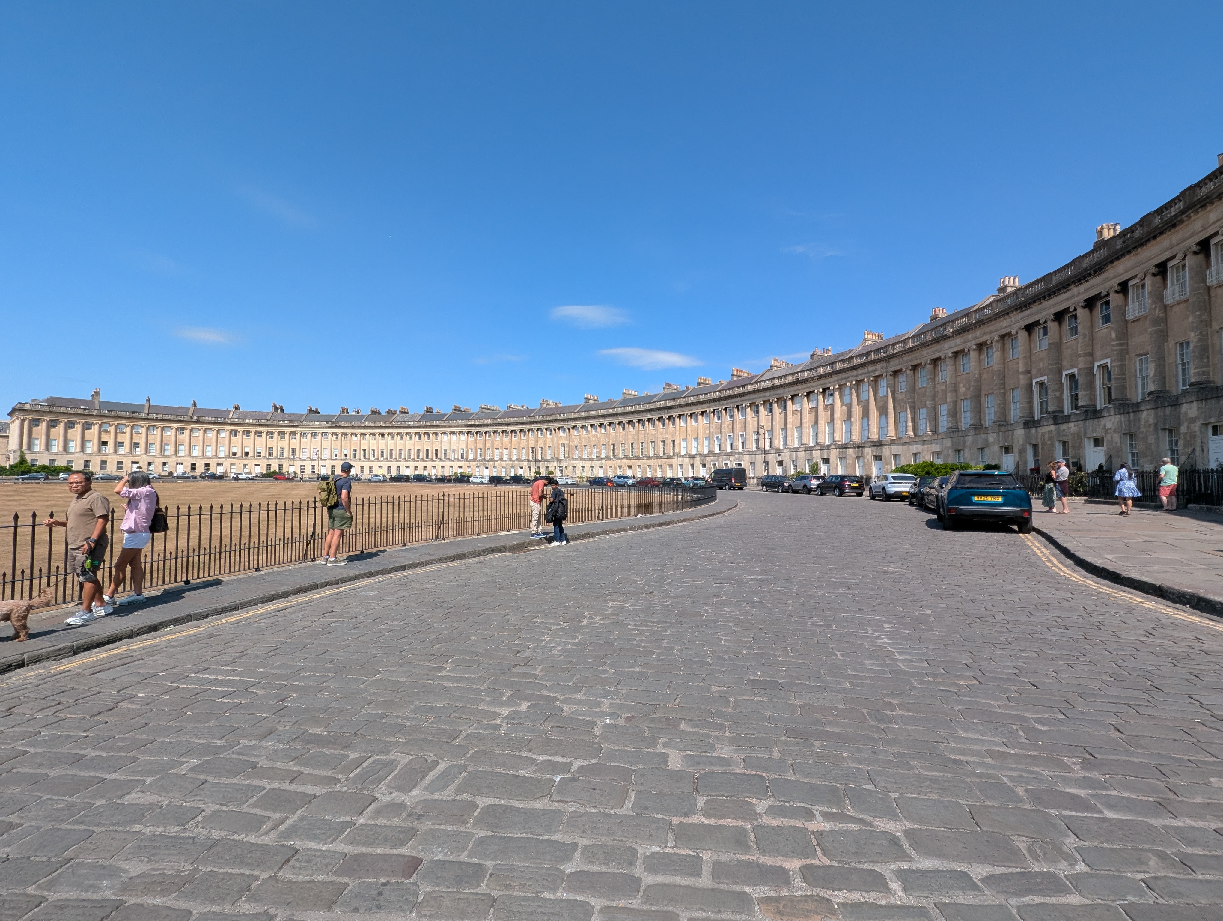 The Grade I listed Royal Crescent in Bath
The app has two modes that it can switch between:
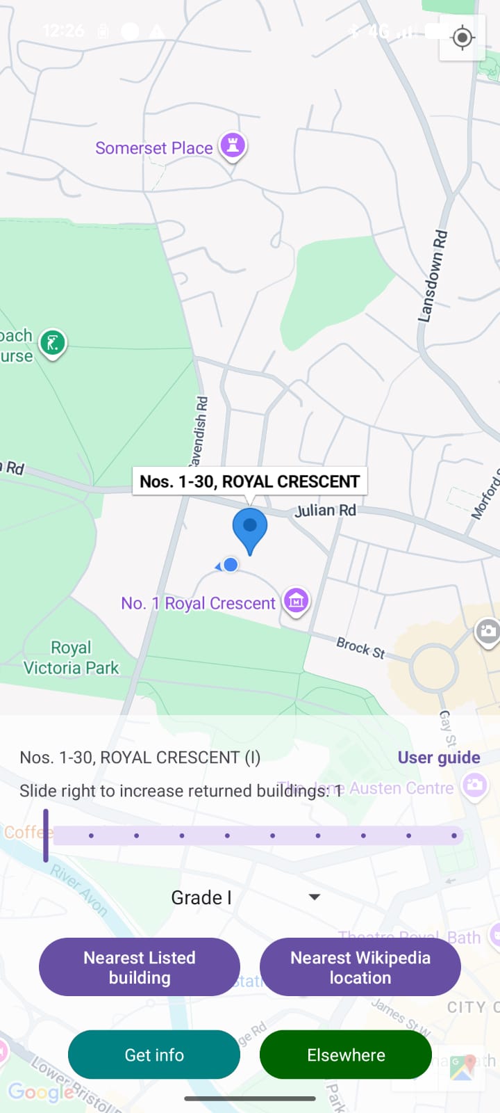
1. My Location (Shown on the left-hand image below - the default mode the app opens with). In this mode the app uses the phone’s location to identify the nearest listed buildings. In the example on the left the app is showing an occasion when my phone was in the Grade I listed Royal Crescent in Bath.
2. Elsewhere (Shown on the right-hand image below) This mode is selected by pressing the Elsewhere button in My Location mode which allows the user to search for a location (restricted to the nations covered) and then drop a location marker from where the nearest listed buildings are identified. The example below shows this in operation after searching for Chartres. The red marker is created by tapping the screen. Here the closest building to the marker is Chartres cathedral. Pressing the My Location button switches the app back to the map centred on the phone’s location.
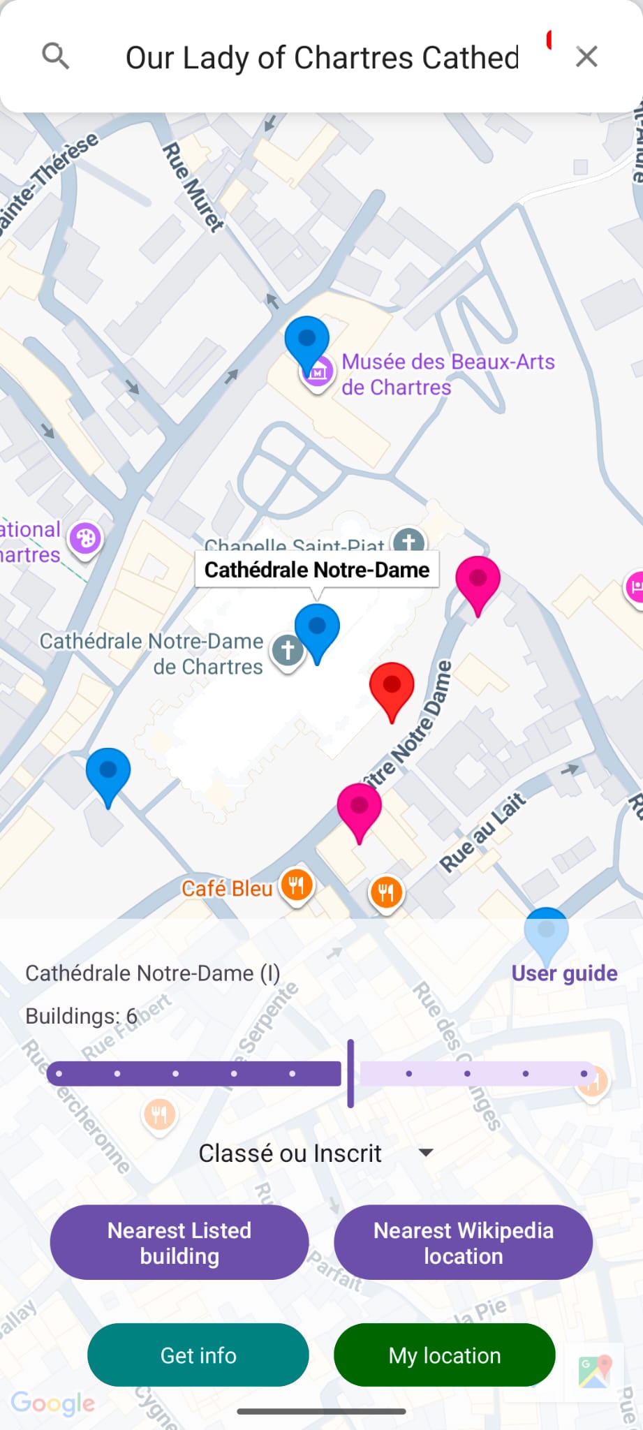
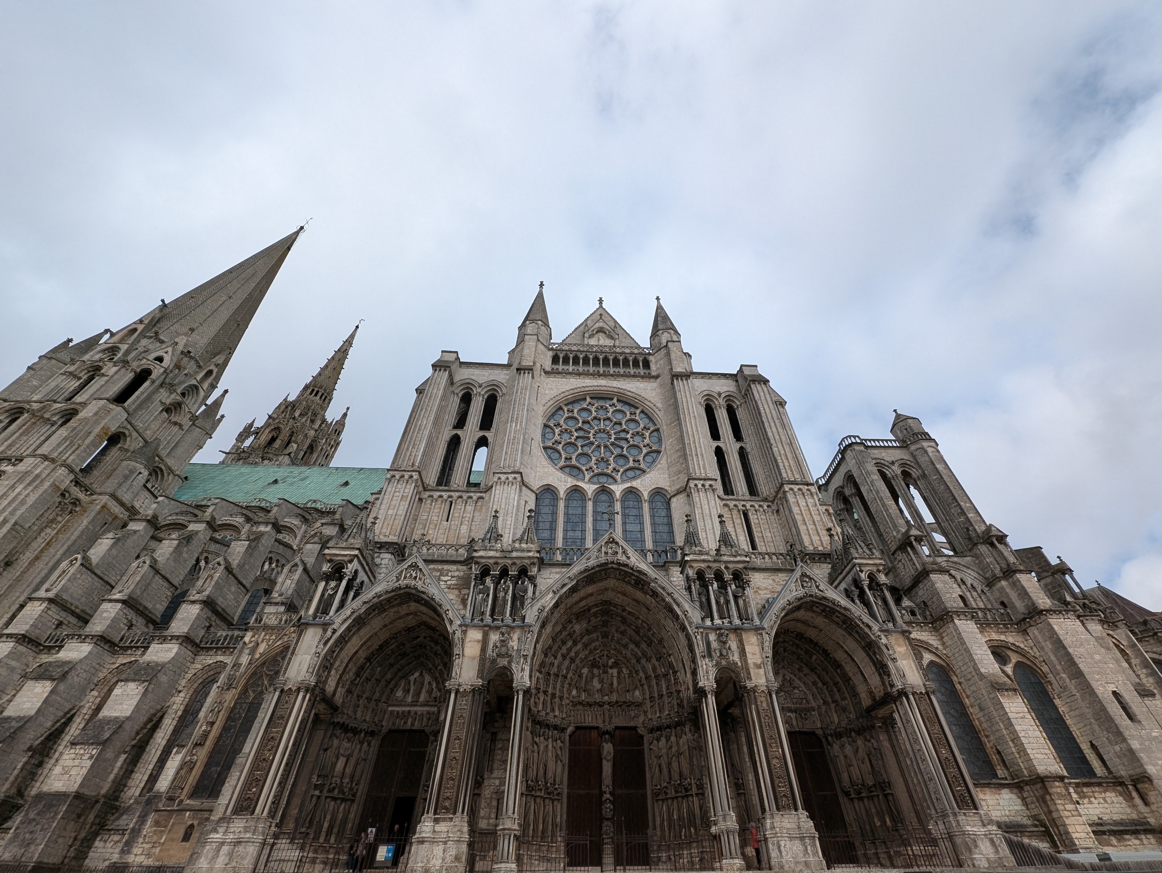 Chartres cathedral (Classè listed)
National grading systems
The nations have different grading systems with buildings with higher grading being associated with higher levels of protection. The table below shows the national grades currently included in the app. Not all sites will be covered as coverage is restricted to those where I could obtain geo-coordinates and corresponding listing information. Grades are not typically directly comparable across nations. England and Wales have the same grading categories, but they are administered separately.
| England | Scotland | Wales | Northern Ireland | The Republic of Ireland | France |
|---|---|---|---|---|---|
| Grade I | A | Grade I | Grade A | National | Classé |
| Grade II* | B | Grade II* | Grade B | Regional | Inscrit |
| Grade II | C | Grade II | Grade B1 & B2 |
The coverage is not exhaustive as it does not include other designated historic structures such as in England what are termed scheduled monuments.
The map below shows the location of buildings in the first two levels for UK based buildings and for National, Regional in the Republic of Ireland and Classé (classified) and Inscrit (registered) in France.
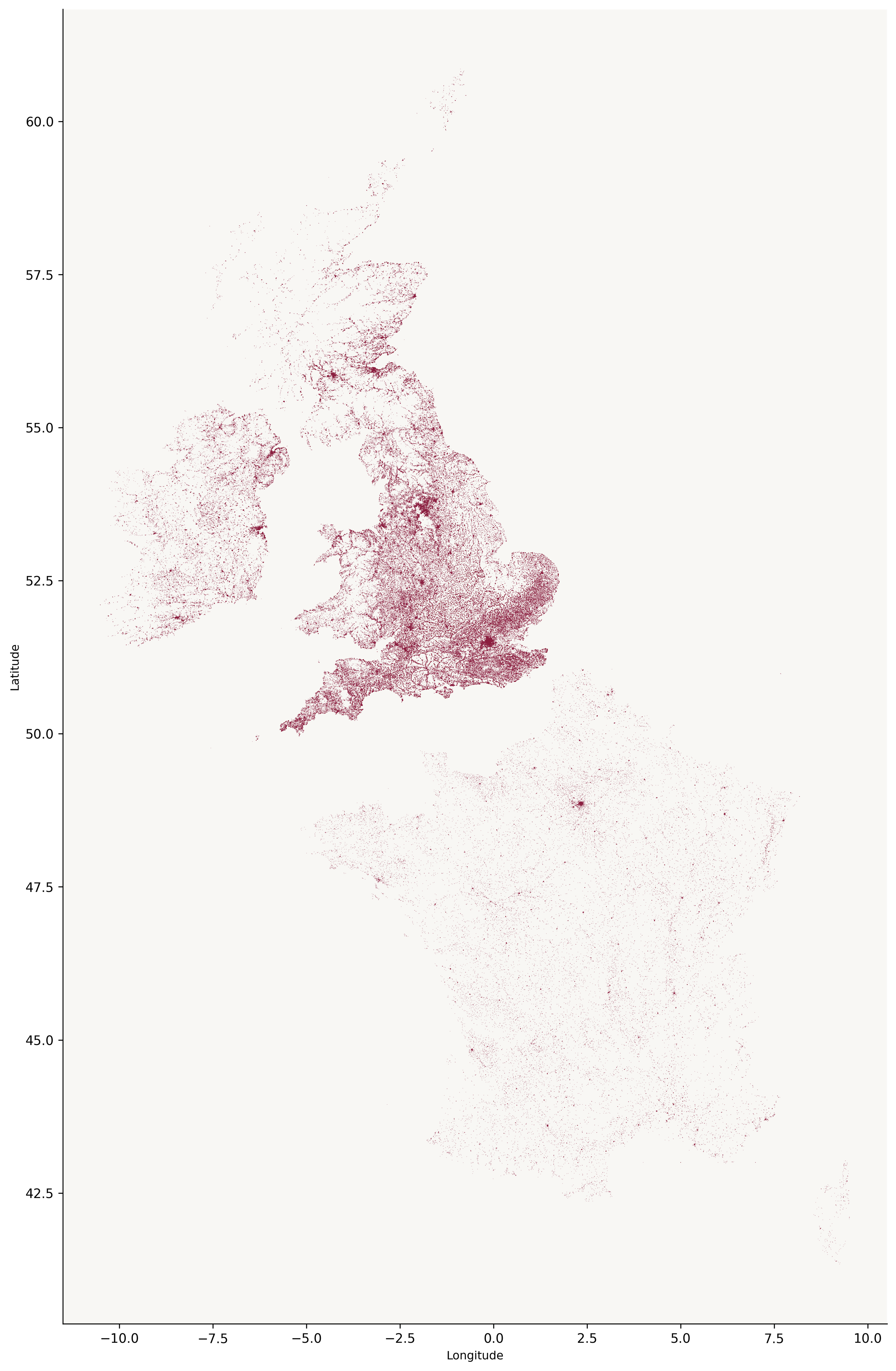
Although I keep talking about “buildings”, in practice many are not strictly buildings, but structures such as railings or post boxes. These can have interesting histories, for example there is a link between one of my local post boxes and the campaign for women’s right to vote.
Getting information about buildings
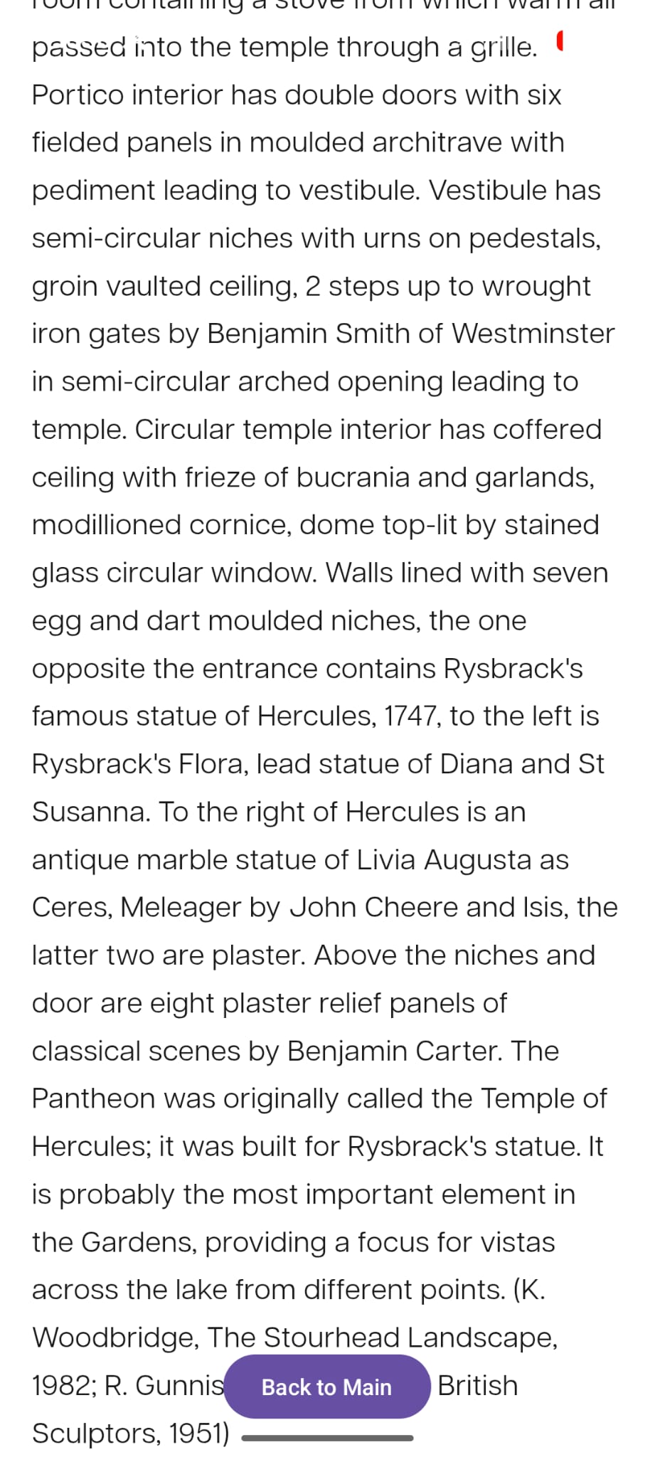
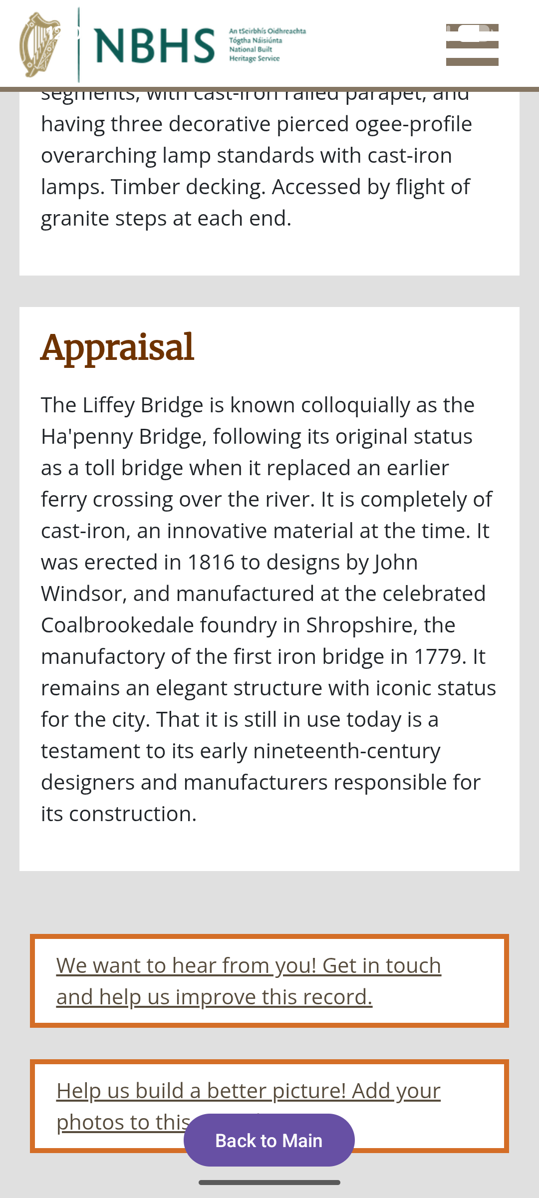
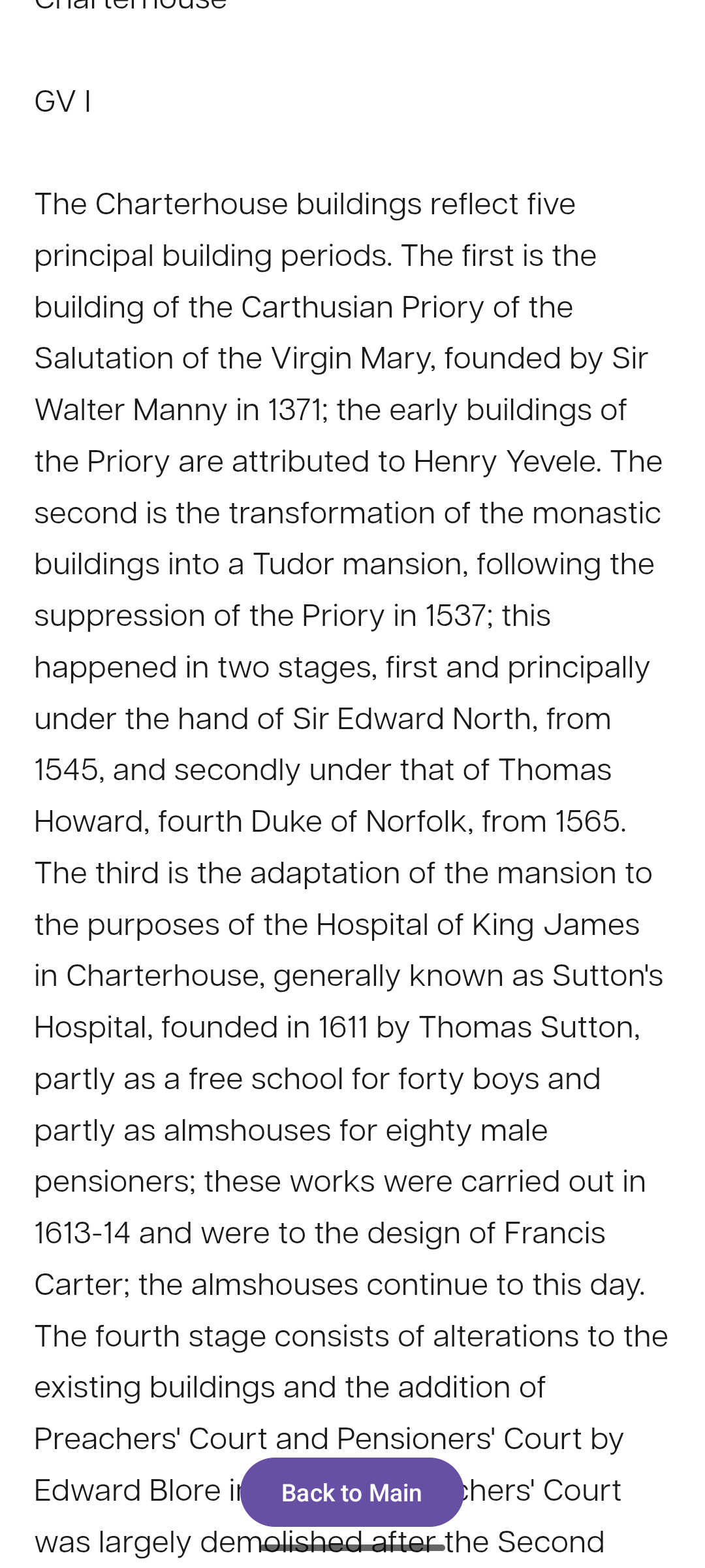
If you click on a building marker then press the Get info button the app takes you through to the official listing entry of the building in the relevant nation or to the Wikipedia page depending on the type of marker. Currently this feature is available in England, Scotland and the Republic of Ireland. The screenshot below shows the Republic of Ireland’s National Built Heritage Service (NBHS) record for The Ha’penny/Liffey Bridge in Dublin and Historic England’s page for The Charterhouse in London that the app shows the user when the building marker is selected and the button is pressed.
2. Next steps
The app is work in progress with a number of different aspects being considered in terms of next steps. If you are interested in the project please get in touch.
1. Testing the Apple and Android versions of the app The app is currently available to test in both Apple and Android to refine how it works. Given it is based on entirely publicly sourced information I’d be open to discussing public benefit uses of it.
2. Extending the information that the app surfaces The information that is available from the official records of these buildings is often, and for understandable reasons, very technical as it is documenting the building’s architecture for the purpose of officially designating it. The objective is therefore to use some of the new techniques in AI to synthesise this information for the general public.
3. Adding in other countries or regions The design of the app means it is possible to add in additional countries which, as this information is not stored locally on the phone, can then be made available to the app users without the user having to download a lot of data. If there are other countries or regions with open data that it might be possible to include please let me know.
Acknowledgements
Thanks go to Ian Baxter, Tom Bolton, Roger Bowdler, Ben Cowell, Ursula Davies, Michael Heusch, Adala Leeson, Deborah Mays, Duncan McCallum, Paul Oxley and Simon Wilson for their comments on the project. All views expressed and any errors are my own.
This project has also been very influenced by Amir Dotan and his work on Stoke Newington history which has changed my conception of what one can do with local history.
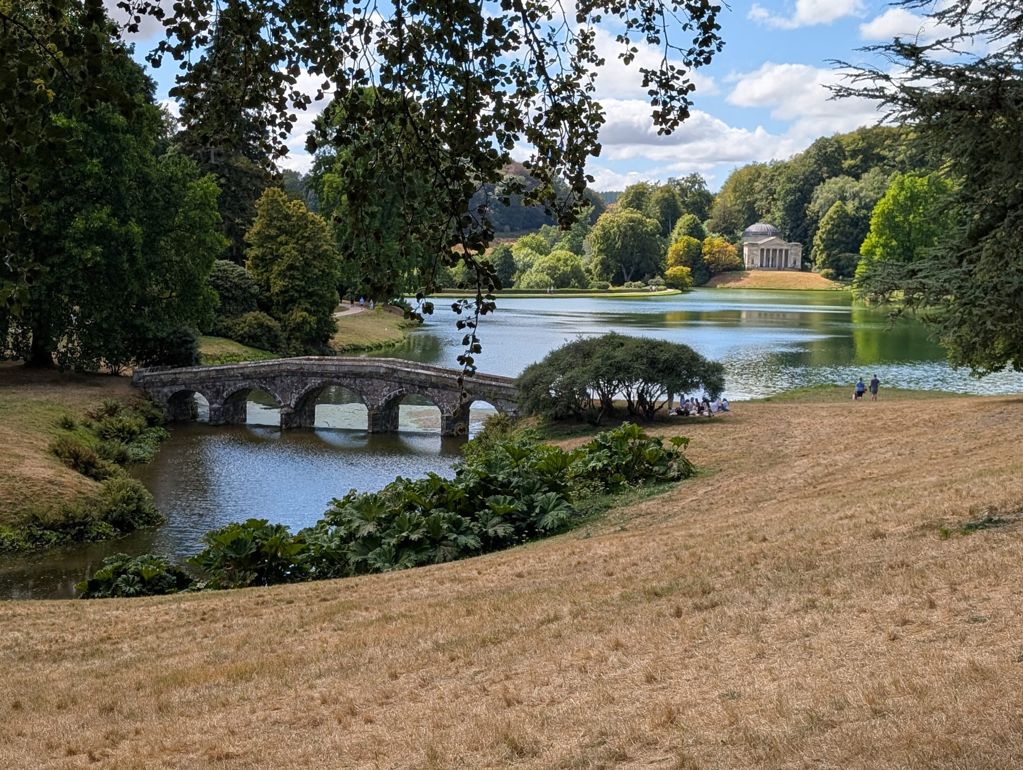 Looking across the lake towards the Pantheon at Stourhead House